Antietam
- Maryland

photo: Charles Poe
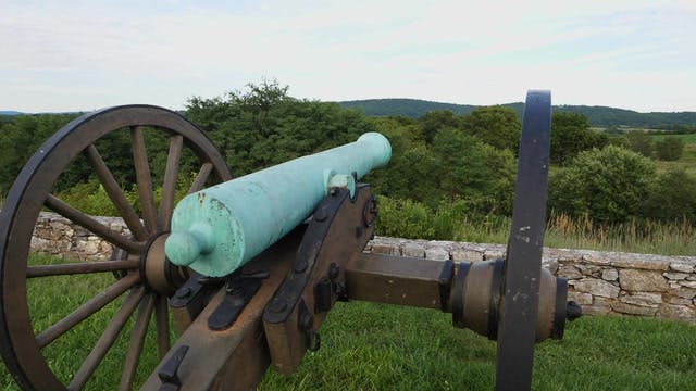
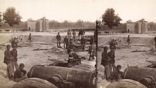
Antietam National Battlefield commemorates the Civil War battle that occurred on September 17, 1862. Situated on fields among the Appalachian foothills near the Potomac River, the battle resulted in over 23,000 casualties. The battlefield is one of the best-preserved of all Civil War battlefields. A driving tour is an easy way to take in many of the sights.


39°28'23.67"N, 77°44'40.13"W
Antietam
Maryland

The History Underground
Battlefield
Civil War
History
Military history
39°28'19.75"N, 77°44'0.97"W
Antietam
Maryland
The History Underground
Civil War
Battlefield
History
Military history

39°27'2.22"N, 77°43'56"W
Antietam
Maryland
The History Underground
Civil War
Battlefield
History
Military history
39°28'23.78"N, 77°44'29.27"W
Antietam
Maryland
The History Underground
Civil War
History
Battlefield
Military history

39°28'34.65"N, 77°44'55.78"W
Antietam
Maryland
The History Underground
Civil War
History
Battlefield
Military history

39°28'26.13"N, 77°44'41.99"W
Antietam
Maryland
The History Underground
Civil War
Battlefield
Military history

39°28'26.13"N, 77°44'41.99"W
Antietam
Maryland
The History Underground
Civil War
Battlefield
History
Military history

39°28'26.13"N, 77°44'41.99"W
Antietam
Maryland
The History Underground
Civil War
History
Battlefield
Military history

39°29'56.96"N, 77°37'24.42"W
Antietam
Maryland
The History Underground
Civil War
Battlefield
Hiking
Military history

39°9'16.92"N, 77°31'9.48"W
Antietam
Maryland
The History Underground
Civil War
Battlefield
History
Military history